Datei:Barbados location map.svg

Gröössi vor PNG-Vorschou vor SVG-Datei: 539 × 599 Pixel. Wyteri Ufflösige: 216 × 240 Pixel | 432 × 480 Pixel | 691 × 768 Pixel | 921 × 1.024 Pixel | 1.843 × 2.048 Pixel | 1.205 × 1.339 Pixel.
Originaldatei (SVG-Datei, Basisgrößi: 1.205 × 1.339 Pixel, Dateigrößi: 125 KB)
| Die Datei un d Informatione derzue were us em zäntrale Mediearchiv Wikimedia Commons (Allmänd) iibunde. | Zur Bschriibigssite uff de Allmänd |
Bschryybig
| Bschryybig |
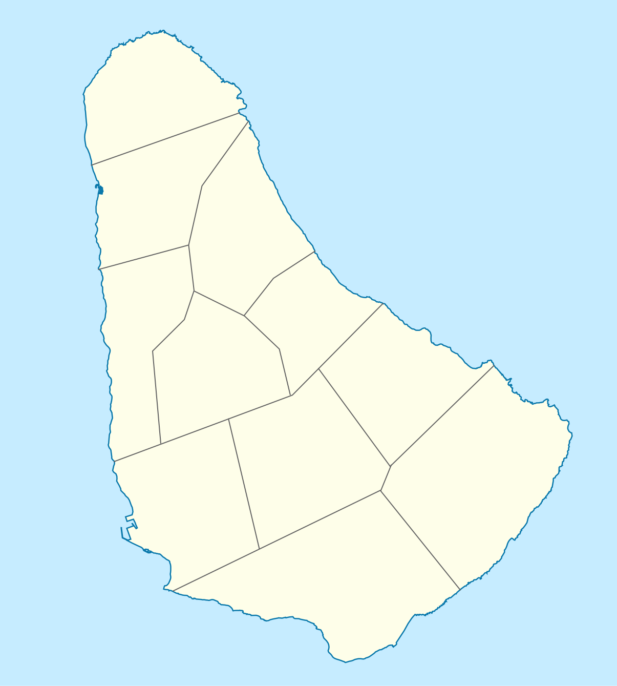
Deutsch: Positionskarte von Barbados. Geographische Begrenzungen der Karte:
English: Location map of Barbados. Geographic limits of the map:
|
| Datum | |
| Quälle |
Eigeni Arbet, using
|
| Urheber |
Graphic made by Carport |
Lizänzierig
Die Datei isch lizänziert unter dr Creative-Commons-Lizänz Namensnännig – Wytergab unter glyche Bedingige 2.0 generisch.
- Du derfsch:
- des Wärch an anderi wytergee – des Wärch kopiere, verbreite un ibertrage
- des Wärch verändere – des Wärch aapasse
- Unter däne Bedingige:
- Namenännig – Du muesch aagmässeni Aagabe zum Urheber un dr Rächt mache, e Link zue dr Lizänz zuefiege un aagee, eb Änderige gmacht wore sin. Die Aagabe chenne in ere aagmässene Art gmacht wäre, aber nit eso, ass dr Yydruck entstoht, ass dr Lizänzgeber Dii oder Dyy Gebruch vum Wärch unterstitze un guetheiße.
- Wytergab unter glyche Bedingige – Wänn du des Wärch veränderesch, umwandlesch oder druf ufböusch, no derfsch s Ergebnis nume unter dr glyche oder ere kumpatible Lizänz wie s Orginal vereffetlige.
Dateiversione
Klick uf e Zytpunkt zu aazeige, wie s dert usgsäh het.
| Version vom | Vorschaubild | Mäß | Benutzer | Kommentar | |
|---|---|---|---|---|---|
| aktuell | 16:12, 22. Nov. 2009 | | 1.205 × 1.339 (125 KB) | Carport | {{Information |Description={{de|1=Positionskarte von {{w|Barbados|Barbados|de}}. Geographische Begrenzungen der Karte: * N: 13.349° N * S: 13,034° N * W: 59,690° W * E: 59,399° W}} {{en|1=Location map of {{w|Barbados}}. Geographic limits of the map: |
Verwändig vu dr Datei
Di folgende Sytene händ en Link zu dem Bildli:
Wältwyti Dateinutzig
Die andere Wikis bruche die Datei:
- Gebruch uf af.wikipedia.org
- Gebruch uf an.wikipedia.org
- Gebruch uf ar.wikipedia.org
- Gebruch uf ast.wikipedia.org
- Gebruch uf az.wikipedia.org
- Gebruch uf ba.wikipedia.org
- Gebruch uf be.wikipedia.org
- Gebruch uf bg.wikipedia.org
- Gebruch uf bn.wikipedia.org
- Gebruch uf bs.wikipedia.org
- Gebruch uf ceb.wikipedia.org
- Plantilya:Location map Barbados
- South Point
- Saint Philip
- Saint John
- Saint George
- Pelican Island
- Pelican Islet
- Long Bay
- Crab Hill
- North Point
- Mount Misery
- Round Rock
- Green Point
- Indian River
- Bell Point
- Christchurch (pagklaro)
- Lambert Point
- Horse Hill
- Bridgetown
- Freshwater Bay
- Saint Andrews
- Greenland
- Cave Bay
- Paynes Bay
- The Salt Lakes
- Lakes Beach
Wältwyti Verwändig vu däre Datei aaluege.