Datei:Greater London UK location map.svg

Gröössi vor PNG-Vorschou vor SVG-Datei: 750 × 600 Pixel. Wyteri Ufflösige: 300 × 240 Pixel | 600 × 480 Pixel | 960 × 768 Pixel | 1.280 × 1.024 Pixel | 2.560 × 2.048 Pixel | 1.425 × 1.140 Pixel.
Originaldatei (SVG-Datei, Basisgrößi: 1.425 × 1.140 Pixel, Dateigrößi: 1,73 MB)
| Die Datei un d Informatione derzue were us em zäntrale Mediearchiv Wikimedia Commons (Allmänd) iibunde. | Zur Bschriibigssite uff de Allmänd |
| Bschryybig |
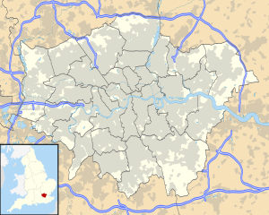
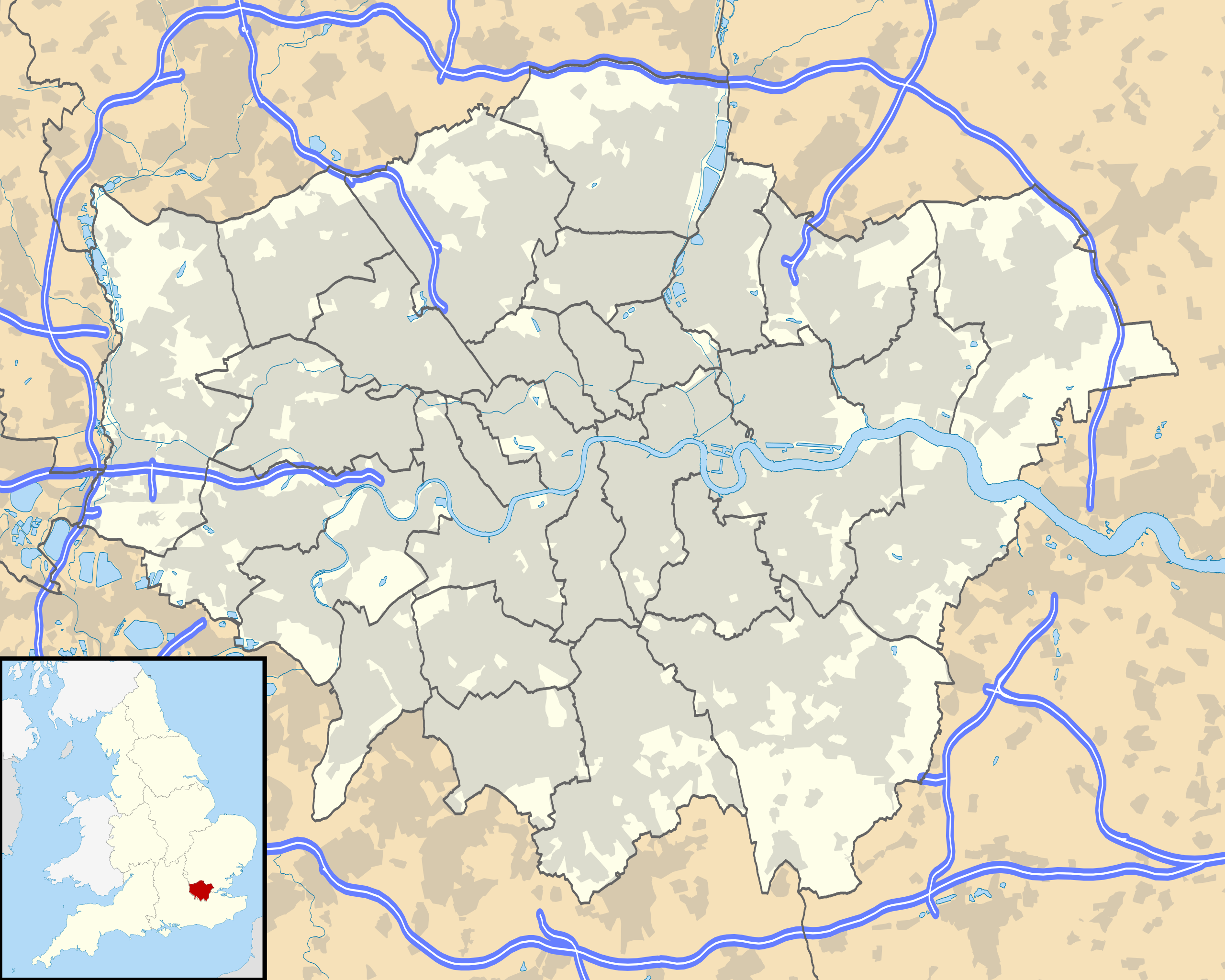
Map of Greater London, UK with the following information shown:
Equirectangular map projection on WGS 84 datum, with N/S stretched 160% Geographic limits:
|
| Datum | |
| Quälle |
|
| Urheber | Nilfanion, created using Ordnance Survey data |
| Gnähmigung (Wyternutzig vu däre Datei) |
Die Datei isch lizänziert unter dr Creative-Commons-Lizenz Namensnännig – Wytergab unter glyche Bedingige 3.0 nit portiert. Namenännig: Contains Ordnance Survey data © Crown copyright and database right
|
| Anderi Versione | File:Greater London UK district map (blank).svg - Blank map |
.svg)
Dateiversione
Klick uf e Zytpunkt zu aazeige, wie s dert usgsäh het.
| Version vom | Vorschaubild | Mäß | Benutzer | Kommentar | |
|---|---|---|---|---|---|
| aktuell | 20:53, 26. Sep. 2010 | | 1.425 × 1.140 (1,73 MB) | Nilfanion | {{Information |Description=Map of Greater London, UK with the following information shown: *Administrative borders *Coastline, lakes and rivers *Roads and railways *Urban areas Equirectangular map projection on WGS 84 datum, with N/S |
Verwändig vu dr Datei
Di folgende Sytene händ en Link zu dem Bildli:
Wältwyti Dateinutzig
Die andere Wikis bruche die Datei:
- Gebruch uf az.wikipedia.org
- Gebruch uf ba.wikipedia.org
- Gebruch uf be.wikipedia.org
- Gebruch uf de.wikipedia.org
- Flughafen London Heathrow
- Tower Bridge
- Benutzer Diskussion:RokerHRO
- Sidcup
- Wembley-Stadion (2007)
- Wembley
- Chiswick
- Soho (London)
- 30 St Mary Axe
- Stamford Bridge (Stadion)
- One Canada Square
- London City Airport
- Covent Garden
- Goldsmiths, University of London
- Battersea Power Station
- Notting Hill
- Bayswater
- White Hart Lane
- The Shard
- Kensington (London)
- Brentford
- Norbury
- Purley
- East Ham
- West End (London)
- Charlton
- Plumstead
- Woolwich
- RAF Northolt
- The O2
- Tottenham
Wältwyti Verwändig vu däre Datei aaluege.