Datei:Hungary location map.svg

Gröössi vor PNG-Vorschou vor SVG-Datei: 800 × 493 Pixel. Wyteri Ufflösige: 320 × 197 Pixel | 640 × 395 Pixel | 1.024 × 631 Pixel | 1.280 × 789 Pixel | 2.560 × 1.578 Pixel | 1.210 × 746 Pixel.
Originaldatei (SVG-Datei, Basisgrößi: 1.210 × 746 Pixel, Dateigrößi: 246 KB)
| Die Datei un d Informatione derzue were us em zäntrale Mediearchiv Wikimedia Commons (Allmänd) iibunde. | Zur Bschriibigssite uff de Allmänd |
Bschryybig
| Bschryybig |
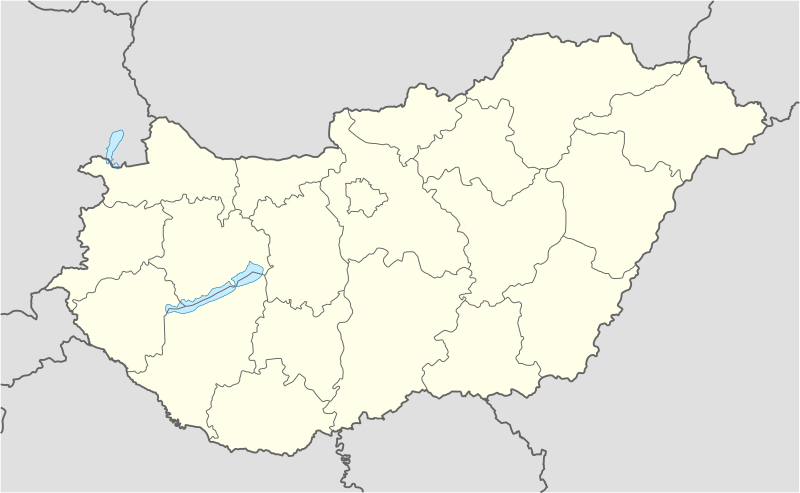
Deutsch: Positionskarte von Ungarn
Quadratische Plattkarte, N-S-Streckung 140 %. Geographische Begrenzung der Karte:
English: Location map of Hungary
Equirectangular projection, N/S stretching 140 %. Geographic limits of the map:
|
| Datum | |
| Quälle | own work, using United States National Imagery and Mapping Agency data |
| Urheber | NordNordWest (Diskussion · Byträg) |
| Anderi Versione | Abgleiteti Wärk vo dere Datei: Hungary location map-2.jpg |

|
Diese Karte wurde in der Kartenwerkstatt erstellt oder verbessert. Auch du kannst dort Karten vorschlagen, die zu erstellen, verändern oder übersetzen sind.
|
Lizänzierig
Ich haa s Urheberrächt an däm Wärch un vereffetlig s dodermit unter däne Lizänze:

|
Des Dokumänt derf kopiert, verbreitet un/oder bearbeitet wäre unter dr Bedingige vu dr GNU-Lizänz fir freji Dokumäntation, Version 1.2 oder ere spetere Version, vereffetligt dur Free Software Foundation. S het keini uuveränderlige Abschnitt, kei vordere Umschlagstext un kei hindere Umschlagstext. E Kopii vu dr Lizänz isch verfiegbar im Abschnitt GNU-Lizänz fir freji Dokumäntation. |
Die Datei isch lizänziert unter dr Creative-Commons-Lizenz Namensnännig – Wytergab unter glyche Bedingige 3.0 nit portiert.
- Du derfsch:
- des Wärch an anderi wytergee – des Wärch kopiere, verbreite un ibertrage
- des Wärch verändere – des Wärch aapasse
- Unter däne Bedingige:
- Namenännig – Du muesch aagmässeni Aagabe zum Urheber un dr Rächt mache, e Link zue dr Lizänz zuefiege un aagee, eb Änderige gmacht wore sin. Die Aagabe chenne in ere aagmässene Art gmacht wäre, aber nit eso, ass dr Yydruck entstoht, ass dr Lizänzgeber Dii oder Dyy Gebruch vum Wärch unterstitze un guetheiße.
- Wytergab unter glyche Bedingige – Wänn du des Wärch veränderesch, umwandlesch oder druf ufböusch, no derfsch s Ergebnis nume unter dr glyche oder ere kumpatible Lizänz wie s Orginal vereffetlige.
Du chasch sälber e Lizänz uuswehle.
Dateiversione
Klick uf e Zytpunkt zu aazeige, wie s dert usgsäh het.
| Version vom | Vorschaubild | Mäß | Benutzer | Kommentar | |
|---|---|---|---|---|---|
| aktuell | 15:27, 15. Nov. 2008 | | 1.210 × 746 (246 KB) | NordNordWest | corrected |
| 19:30, 5. Sep. 2008 |  | 1.210 × 746 (243 KB) | NordNordWest | frontiers corrected, size correction, file size smaller | |
| 11:53, 5. Jul. 2008 |  | 605 × 373 (309 KB) | NordNordWest | {{Information |Description= {{de|Positionskarte von Ungarn}} Quadratische Plattkarte, N-S-Streckung 140 %. Geographische Begrenzung der Karte: * N: 48.8° N * S: 45.5° N * W: 15.7° O * O: 23.2° O {{en|Location map of [[:en:Hungary|Hungar |
Verwändig vu dr Datei
Di folgende Sytene händ en Link zu dem Bildli:
Wältwyti Dateinutzig
Die andere Wikis bruche die Datei:
- Gebruch uf af.wikipedia.org
- Gebruch uf am.wikipedia.org
- Gebruch uf an.wikipedia.org
- Budapest
- Ecser
- Esztergom
- Buda (Hongría)
- Pest
- Óbuda
- Zichyújfalu
- Basilica de Sant Istevan de Budapest
- Ilesia de Matías de Budapest
- Bastión d'os Pescataires
- Banyos Széchenyi
- Banyos Gellért
- Gran Sinoga de Budapest
- Castiello de Buda
- Puent d'as Cadenas
- Puent Margit
- Parlamento d'Hongría
- Mercau Central de Budapest
- Opera Nacional d'Hongría
- Plantilla:Mapa de localización Hongría
- Sopron
- Győr
- Pécs
- Debrecen
- Szeged
- Miskolc
- Nyíregyháza
- Gebruch uf ar.wikipedia.org
- Gebruch uf ast.wikipedia.org
Wältwyti Verwändig vu däre Datei aaluege.