Datei:Indonesia location map.svg

Gröössi vor PNG-Vorschou vor SVG-Datei: 800 × 307 Pixel. Wyteri Ufflösige: 320 × 123 Pixel | 640 × 245 Pixel | 1.024 × 393 Pixel | 1.280 × 491 Pixel | 2.560 × 981 Pixel | 1.200 × 460 Pixel.
Originaldatei (SVG-Datei, Basisgrößi: 1.200 × 460 Pixel, Dateigrößi: 739 KB)
| Die Datei un d Informatione derzue were us em zäntrale Mediearchiv Wikimedia Commons (Allmänd) iibunde. | Zur Bschriibigssite uff de Allmänd |
Bschryybig
| Bschryybig |
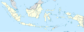
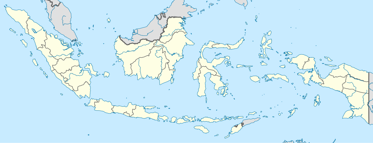
English: Location map of Indonesia.
Equirectangular projection. Stretched by 100.0%. Geographic limits of the map:
|
| Datum | |
| Quälle | Eigeni Arbet |
| Urheber | Uwe Dedering |
| Anderi Versione |
|
Lizänzierig
Ich haa s Urheberrächt an däm Wärch un vereffetlig s dodermit unter däne Lizänze:
Die Datei isch lizänziert unter dr Creative-Commons-Lizenz Namensnännig – Wytergab unter glyche Bedingige 3.0 nit portiert.
- Du derfsch:
- des Wärch an anderi wytergee – des Wärch kopiere, verbreite un ibertrage
- des Wärch verändere – des Wärch aapasse
- Unter däne Bedingige:
- Namenännig – Du muesch aagmässeni Aagabe zum Urheber un dr Rächt mache, e Link zue dr Lizänz zuefiege un aagee, eb Änderige gmacht wore sin. Die Aagabe chenne in ere aagmässene Art gmacht wäre, aber nit eso, ass dr Yydruck entstoht, ass dr Lizänzgeber Dii oder Dyy Gebruch vum Wärch unterstitze un guetheiße.
- Wytergab unter glyche Bedingige – Wänn du des Wärch veränderesch, umwandlesch oder druf ufböusch, no derfsch s Ergebnis nume unter dr glyche oder ere kumpatible Lizänz wie s Orginal vereffetlige.

|
Des Dokumänt derf kopiert, verbreitet un/oder bearbeitet wäre unter dr Bedingige vu dr GNU-Lizänz fir freji Dokumäntation, Version 1.2 oder ere spetere Version, vereffetligt dur Free Software Foundation. S het keini uuveränderlige Abschnitt, kei vordere Umschlagstext un kei hindere Umschlagstext. E Kopii vu dr Lizänz isch verfiegbar im Abschnitt GNU-Lizänz fir freji Dokumäntation. |
Du chasch sälber e Lizänz uuswehle.
Dateiversione
Klick uf e Zytpunkt zu aazeige, wie s dert usgsäh het.
| Version vom | Vorschaubild | Mäß | Benutzer | Kommentar | |
|---|---|---|---|---|---|
| aktuell | 17:54, 4. Dez. 2022 | 1.200 × 460 (739 KB) | NordNordWest | upd | |
| 22:17, 2. Jul. 2022 | 1.200 × 460 (910 KB) | NordNordWest | upd | ||
| 22:21, 26. Jun. 2013 | 1.200 × 460 (854 KB) | NordNordWest | upd | ||
| 14:58, 18. Feb. 2010 | 1.200 × 460 (1,2 MB) | Uwe Dedering | {{Information |Description={{en|1=Location map of Indonesia. Equirectangular projection. Strechted by 100.0%. Geographic limits of the map: * N: 6.5° N * S: -11.5° N * W: 94.5° E * E: 141.5° E Made with Natural Earth. Free vector and raster map |
Verwändig vu dr Datei
Di folgende Sytene händ en Link zu dem Bildli:
Wältwyti Dateinutzig
Die andere Wikis bruche die Datei:
- Gebruch uf ace.wikipedia.org
- Gebruch uf af.wikipedia.org
- Gebruch uf an.wikipedia.org
- Gebruch uf ar.wikipedia.org
- Gebruch uf ast.wikipedia.org
- Nueva Guinea
- Xakarta
- Timor
- Islles Sula
- Archipiélagu de Riau
- Pulau Pramuka
- Sumatra
- Bekasi
- Bogor
- Depok
- Tangerang
- Montes Arfak
- Célebes
- Mar d'Arafura
- Mar de Bali
- Mar de Banda
- Mar de Célebes
- Mar de Ceram
- Mar de Flores
- Mar de Halmahera
- Mar de Xava
- Mar de les Moluques
- Mar de Savu
- Mar de Timor
- Surabaya
- Islles menores de la Sonda
Wältwyti Verwändig vu däre Datei aaluege.