Datei:Kingdom of England.png
Greßi vu däre Vorschau: 586 × 599 Pixel. Wyteri Ufflösige: 235 × 240 Pixel | 470 × 480 Pixel | 751 × 768 Pixel | 1.218 × 1.245 Pixel.
Originaldatei (1.218 × 1.245 Pixel, Dateigrößi: 20 KB, MIME-Typ: image/png)
| Die Datei un d Informatione derzue were us em zäntrale Mediearchiv Wikimedia Commons (Allmänd) iibunde. | Zur Bschriibigssite uff de Allmänd |
| Bschryybig |
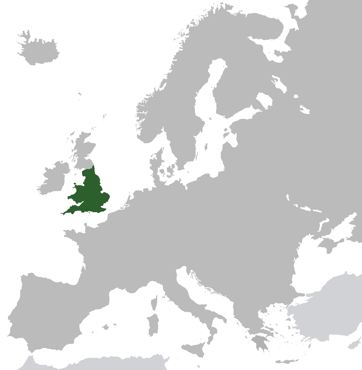
English: Map of the Kingdom of England from ca. 1282 to 1603. Does not include islands attached to the crown, but not incorporated into England, or varying territories in France. |
| Datum | |
| Quälle | Eigeni Arbet (Original text: I created this work entirely by myself.) |
| Urheber | Gav235 (talk) |
Lizänzierig
| Des Wärch isch vu syym Urheber Gav235 in der Wikipedia auf Änglisch as gmeinfrej vereffentligt wore. Des giltet wältwyt. In mänke Staate chennt des rächtli nit megli syy. Wänn des imfall eso isch: Gav235 git e jedem s bedingigslos Rächt, des Wärch fir jedwädere Zwäck z nutze, ußer s git gesetzlig erforderligi Bedingige. |
Orginal Logbuech vu uffegladene Datei
Transferred from en.wikipedia to Commons by Broadbeer using CommonsHelper.
The original description page was here. All following user names refer to en.wikipedia.
- 2009-07-12 17:25 Gav235 1218×1245× (62805 bytes) {{Information |Description = Map of the Kingdom of England |Source = I created this work entirely by myself. |Date = 12 July 2009 |Author = ~~~ |other_versions = }}
Dateiversione
Klick uf e Zytpunkt zu aazeige, wie s dert usgsäh het.
| Version vom | Vorschaubild | Mäß | Benutzer | Kommentar | |
|---|---|---|---|---|---|
| aktuell | 08:35, 10. Nov. 2014 | | 1.218 × 1.245 (20 KB) | AnonMoos | increasing PNG compression |
| 14:20, 20. Feb. 2014 |  | 1.218 × 1.245 (132 KB) | Rob984 | Non-European regions light grey | |
| 09:16, 23. Sep. 2012 |  | 1.218 × 1.245 (39 KB) | TRAJAN 117 | Standardise colours, minor fixes. | |
| 23:38, 12. Dez. 2010 |  | 1.218 × 1.245 (39 KB) | VEO15 | Isle of Man + Danish border | |
| 14:48, 6. Apr. 2010 |  | 1.218 × 1.245 (39 KB) | Hayden120 | Corrected Cyprus. | |
| 22:13, 26. Okt. 2009 |  | 1.218 × 1.245 (61 KB) | File Upload Bot (Magnus Manske) | {{BotMoveToCommons|en.wikipedia|year={{subst:CURRENTYEAR}}|month={{subst:CURRENTMONTHNAME}}|day={{subst:CURRENTDAY}}}} {{Information |Description={{en|Map of the Kingdom of England}} |Source=Transferred from [http://en.wikipedia.org en.wikipedia]; transf |
Verwändig vu dr Datei
Di folgende Sytene händ en Link zu dem Bildli:
Wältwyti Dateinutzig
Die andere Wikis bruche die Datei:
- Gebruch uf af.wikipedia.org
- Gebruch uf ar.wikipedia.org
- Gebruch uf arz.wikipedia.org
- Gebruch uf ast.wikipedia.org
- Gebruch uf azb.wikipedia.org
- Gebruch uf az.wikipedia.org
- Gebruch uf be.wikipedia.org
- Gebruch uf bg.wikipedia.org
- Gebruch uf ca.wikipedia.org
- Gebruch uf da.wikipedia.org
- Gebruch uf de.wikipedia.org
- Gebruch uf el.wikipedia.org
- Gebruch uf en.wikipedia.org
- Gebruch uf eo.wikipedia.org
- Gebruch uf et.wikipedia.org
- Gebruch uf eu.wikipedia.org
- Gebruch uf fr.wikipedia.org
- Gebruch uf ga.wikipedia.org
- Gebruch uf gl.wikipedia.org
- Gebruch uf gv.wikipedia.org
- Gebruch uf hr.wikipedia.org
- Gebruch uf it.wikipedia.org
- Gebruch uf kk.wikipedia.org
- Gebruch uf mk.wikipedia.org
- Gebruch uf nl.wikipedia.org
- Gebruch uf pnb.wikipedia.org
- Gebruch uf pt.wikipedia.org
- Gebruch uf ro.wikipedia.org
- Gebruch uf ru.wikipedia.org
- Gebruch uf sco.wikipedia.org
- Gebruch uf sh.wikipedia.org
- Gebruch uf sr.wikipedia.org
- Gebruch uf sv.wikipedia.org
- Gebruch uf ta.wikipedia.org
- Gebruch uf tg.wikipedia.org
- Gebruch uf tr.wikipedia.org
- Gebruch uf www.wikidata.org
- Gebruch uf yo.wikipedia.org