Datei:Soldier Field Chicago aerial view.jpg

Greßi vu däre Vorschau: 753 × 599 Pixel. Wyteri Ufflösige: 302 × 240 Pixel | 603 × 480 Pixel | 965 × 768 Pixel | 1.280 × 1.019 Pixel | 1.500 × 1.194 Pixel.
Originaldatei (1.500 × 1.194 Pixel, Dateigrößi: 606 KB, MIME-Typ: image/jpeg)
| Die Datei un d Informatione derzue were us em zäntrale Mediearchiv Wikimedia Commons (Allmänd) iibunde. | Zur Bschriibigssite uff de Allmänd |
| Bschryybig |
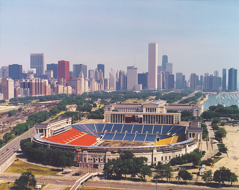
English: Aerial view of Soldier Field and the skyline of Chicago, Illinois, USA. |
|||
| Datum | ||||
| Quälle |
U.S. Army Corps of Engineers Digital Visual Library Image page Image description page Digital Visual Library home page |
|||
| Urheber | Dale Fisher, U.S. Army Corps of Engineers | |||
| Gnähmigung (Wyternutzig vu däre Datei) |
|
|||
| Anderi Versione | ||||
| Ort | Chicago, Illinois, USA |
.jpg)
| Kameraposition | | Dieses und weitere Bilder auf OpenStreetMap |
|---|
Dateiversione
Klick uf e Zytpunkt zu aazeige, wie s dert usgsäh het.
| Version vom | Vorschaubild | Mäß | Benutzer | Kommentar | |
|---|---|---|---|---|---|
| aktuell | 02:26, 1. Apr. 2007 | | 1.500 × 1.194 (606 KB) | DanMS | {{Information | Description = {{en|Aerial view of Soldier Field and the skyline of Chicago, Illinois, USA.}} | Source = U.S. Army Corps of Engineers Digital Visual Library<br />[http://images.usace.army.mil/images/Hires/LRE0016.jpg Image page]< |
Verwändig vu dr Datei
Di folgende Sytene händ en Link zu dem Bildli:
Wältwyti Dateinutzig
Die andere Wikis bruche die Datei:
- Gebruch uf af.wikipedia.org
- Gebruch uf am.wikipedia.org
- Gebruch uf ast.wikipedia.org
- Gebruch uf bg.wikipedia.org
- Gebruch uf bs.wikipedia.org
- Gebruch uf ca.wikipedia.org
- Gebruch uf de.wikipedia.org
- Gebruch uf el.wikipedia.org
- Gebruch uf en.wikipedia.org
- Gebruch uf es.wikipedia.org
- Gebruch uf fa.wikipedia.org
- Gebruch uf fr.wikipedia.org
- Gebruch uf fy.wikipedia.org
- Gebruch uf he.wikipedia.org
- Gebruch uf hi.wikipedia.org
- Gebruch uf hu.wikipedia.org
- Gebruch uf hy.wikipedia.org
- Gebruch uf id.wikipedia.org
- Gebruch uf it.wikipedia.org
- Gebruch uf ja.wikipedia.org
- Gebruch uf ka.wikipedia.org
- Gebruch uf kn.wikipedia.org
- Gebruch uf ko.wikipedia.org
Wältwyti Verwändig vu däre Datei aaluege.