Datei:Aquitaine-Limousin-Poitou-Charentes region location map.svg

Gröössi vor PNG-Vorschou vor SVG-Datei: 425 × 599 Pixel. Wyteri Ufflösige: 170 × 240 Pixel | 341 × 480 Pixel | 545 × 768 Pixel | 727 × 1.024 Pixel | 1.454 × 2.048 Pixel | 722 × 1.017 Pixel.
Originaldatei (SVG-Datei, Basisgrößi: 722 × 1.017 Pixel, Dateigrößi: 6,81 MB)
| Die Datei un d Informatione derzue were us em zäntrale Mediearchiv Wikimedia Commons (Allmänd) iibunde. | Zur Bschriibigssite uff de Allmänd |
Bschryybig
| Bschryybig |
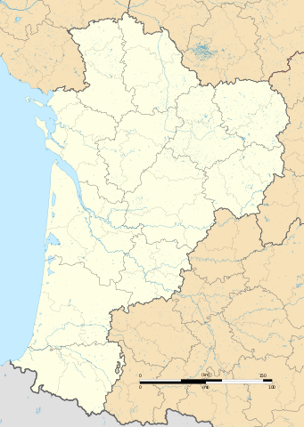
Français : Carte administrative vierge de la région Aquitaine-Limousin-Poitou-Charentes, France, destinée à la géolocalisation. Projection "Géoportail" (projection équirectangulaire à la latitude de référence 46.5° Nord)
|
| Datum | |
| Quälle |
Eigeni Arbet
|
| Urheber | Flappiefh |
| Anderi Versione |
|

Lizänzierig
Ich haa s Urheberrächt an däm Wärch un vereffetlig s dodermit unter däre Lizänz:
Diese Datei ist lizenziert unter der Creative-Commons-Lizenz „Namensnennung – Weitergabe unter gleichen Bedingungen 4.0 international“.
- Du derfsch:
- des Wärch an anderi wytergee – des Wärch kopiere, verbreite un ibertrage
- des Wärch verändere – des Wärch aapasse
- Unter däne Bedingige:
- Namenännig – Du muesch aagmässeni Aagabe zum Urheber un dr Rächt mache, e Link zue dr Lizänz zuefiege un aagee, eb Änderige gmacht wore sin. Die Aagabe chenne in ere aagmässene Art gmacht wäre, aber nit eso, ass dr Yydruck entstoht, ass dr Lizänzgeber Dii oder Dyy Gebruch vum Wärch unterstitze un guetheiße.
- Wytergab unter glyche Bedingige – Wänn du des Wärch veränderesch, umwandlesch oder druf ufböusch, no derfsch s Ergebnis nume unter dr glyche oder ere kumpatible Lizänz wie s Orginal vereffetlige.
Dateiversione
Klick uf e Zytpunkt zu aazeige, wie s dert usgsäh het.
| Version vom | Vorschaubild | Mäß | Benutzer | Kommentar | |
|---|---|---|---|---|---|
| aktuell | 09:43, 19. Sep. 2015 | | 722 × 1.017 (6,81 MB) | Flappiefh | Graticles removed |
| 19:23, 7. Sep. 2015 |  | 722 × 1.017 (6,82 MB) | Flappiefh | User created page with UploadWizard |
Verwändig vu dr Datei
Di folgende Sytene händ en Link zu dem Bildli:
Wältwyti Dateinutzig
Die andere Wikis bruche die Datei:
- Gebruch uf bg.wikipedia.org
- Gebruch uf bn.wikipedia.org
- Gebruch uf de.wikipedia.org
- Flughafen Bordeaux
- Wikipedia:Kartenwerkstatt/Positionskarten/Europa
- Leuchtturm von Cordouan
- Stade Chaban-Delmas
- Stade Didier Deschamps
- Stade Jean Antoine Moueix
- Stade Amédée-Domenech
- Höhle von Pair-non-Pair
- Höhlen von Isturitz und Oxocelhaya
- Palais des Sports de Pau
- Stade Armandie
- Parc des Sports d’Aguiléra
- Stade Jean-Dauger
- Viaduc des Rochers Noirs
- Passerelle Eiffel
- Pont Saint-Jean
- Viaduc du Pays de Tulle
- Stade Matmut-Atlantique
- Militärflugplatz Mont-de-Marsan
- Straßenbrücke von Cubzac
- Pont d’Aquitaine
- Vorlage:Positionskarte Frankreich Nouvelle-Aquitaine
- Lotbrücke Castelmoron
- Pont de la Coudette
- Lotbrücke Clairac
- Stade du Hameau
- Phare du Cap Ferret
- Viaduc du Chavanon
- Viaduc de la Tardes
- Phare de Biarritz
- Phare de la Pointe de Grave
- Phare de Socoa
- Gebruch uf en.wikipedia.org
Wältwyti Verwändig vu däre Datei aaluege.