Datei:Mapa territorios España2.svg

Gröössi vor PNG-Vorschou vor SVG-Datei: 800 × 457 Pixel. Wyteri Ufflösige: 320 × 183 Pixel | 640 × 366 Pixel | 1.024 × 585 Pixel | 1.280 × 731 Pixel | 2.560 × 1.462 Pixel | 3.300 × 1.885 Pixel.
Originaldatei (SVG-Datei, Basisgrößi: 3.300 × 1.885 Pixel, Dateigrößi: 1,9 MB)
| Die Datei un d Informatione derzue were us em zäntrale Mediearchiv Wikimedia Commons (Allmänd) iibunde. | Zur Bschriibigssite uff de Allmänd |
Bschryybig
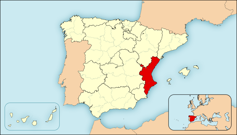
| Bschryybig | Ejemplo de mapas de localización para España. Los colores de esta versión se ajustan a otros mapas para Wikipedia, recomendados por el WikiProject Maps |
| Datum | |
| Quälle | Eigeni Arbet |
| Urheber | HansenBCN |
| Anderi Versione |
|
Lizänzierig
| Ich, dr Urheberrächtsinhaber vu däm Wärch, tue s as gmeinfrej vereffentlige . Des giltet wältwyt. In mänke Staate chennt des rächtli nit megli syy. Wänn des imfall eso isch: Ich gib e jedem s bedingiglos Rächt, des Wärch jedwädere Zwäck z nutze, ußer s git gesetzlig erforderligi Bedingige. |
Dateiversione
Klick uf e Zytpunkt zu aazeige, wie s dert usgsäh het.
| Version vom | Vorschaubild | Mäß | Benutzer | Kommentar | |
|---|---|---|---|---|---|
| aktuell | 11:54, 27. Apr. 2008 | | 3.300 × 1.885 (1,9 MB) | HansenBCN | Cambio de mapa, útil para geoloc, más preciso y lineas más sutiles. Formato más panorámico. |
| 17:23, 25. Apr. 2008 |  | 545 × 365 (1,3 MB) | HansenBCN | {{Information |Description=Ejemplo de mapas de localización para España. Los colores de esta versión se ajustan a otros mapas para Wikipedia, recomendados por el ''WikiProject Maps'' |Source=self-made |Date=25/abril/2008 |Author= [[User:Ha |
Verwändig vu dr Datei
Kei Artikel bruucht die Datei.
Wältwyti Dateinutzig
Die andere Wikis bruche die Datei:
- Gebruch uf es.wikipedia.org