Datei:Saint Lucia location map.svg

Gröössi vor PNG-Vorschou vor SVG-Datei: 475 × 599 Pixel. Wyteri Ufflösige: 190 × 240 Pixel | 380 × 480 Pixel | 609 × 768 Pixel | 812 × 1.024 Pixel | 1.624 × 2.048 Pixel | 1.060 × 1.337 Pixel.
Originaldatei (SVG-Datei, Basisgrößi: 1.060 × 1.337 Pixel, Dateigrößi: 114 KB)
| Die Datei un d Informatione derzue were us em zäntrale Mediearchiv Wikimedia Commons (Allmänd) iibunde. | Zur Bschriibigssite uff de Allmänd |
Bschryybig
| Bschryybig |
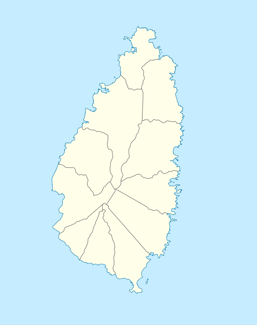
Deutsch: Positionskarte von St. Lucia
Geographische Begrenzung der Karte:
English: Location map of Saint Lucia
Geographic limits of the map:
|
||||||||||||
| Datum | |||||||||||||
| Quälle |
Eigeni Arbet, using |
||||||||||||
| Urheber | NordNordWest | ||||||||||||
| Gnähmigung (Wyternutzig vu däre Datei) |
|

|
Diese Karte wurde in der Kartenwerkstatt erstellt oder verbessert. Auch du kannst dort Karten vorschlagen, die zu erstellen, verändern oder übersetzen sind.
|
Dateiversione
Klick uf e Zytpunkt zu aazeige, wie s dert usgsäh het.
| Version vom | Vorschaubild | Mäß | Benutzer | Kommentar | |
|---|---|---|---|---|---|
| aktuell | 20:16, 18. Dez. 2009 | | 1.060 × 1.337 (114 KB) | NordNordWest | == {{int:filedesc}} == {{Information |Description= {{de|Positionskarte von St. Lucia}} Geographische Begrenzung der Karte: * N: 14.15° N * S: 13.66° N * W: 61.16° W * O: 60.76° W {{en|Location map of Saint Lucia}} |
Verwändig vu dr Datei
Di folgende Sytene händ en Link zu dem Bildli:
Wältwyti Dateinutzig
Die andere Wikis bruche die Datei:
- Gebruch uf af.wikipedia.org
- Gebruch uf an.wikipedia.org
- Gebruch uf ar.wikipedia.org
- Gebruch uf ast.wikipedia.org
- Gebruch uf be-tarask.wikipedia.org
- Gebruch uf be.wikipedia.org
- Gebruch uf bg.wikipedia.org
- Gebruch uf bn.wikipedia.org
- Gebruch uf bs.wikipedia.org
- Gebruch uf ceb.wikipedia.org
- Plantilya:Location map Saint Lucia
- Rat Island
- Rat Islet
- Saint Lucia (pagklaro)
- Pigeon Island
- Chopin Ridge
- Black Bay
- Battery Point
- Union River
- Mamin River
- Mount Marquis
- Blanche Point
- Punchbowl
- Albert Point
- Pigeon Point
- Mount Morton
- Mount Bellevue
- Scorpion Island
- Esperance River
- Soufrière Bay
- Soufriere
- Mahaut River
- Petit Trou
- Beaumont Point
- Bonhomme Point
- Brandon Point
- Caesar Point
- Cap Point
- Cross Hill
- Dauphin River
- Falaise Point
- Georgie Point
- Grande Anse
- Gros Morne
Wältwyti Verwändig vu däre Datei aaluege.